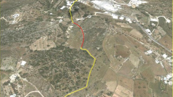
Talaras – Mavrovounos – Kanakari (1st level)
(By Takis Galanopoulos)
The file below, after downloading, requires Google Earth application to view:
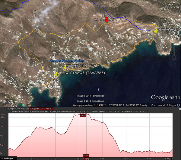
MEGAS GYALOS_TALARAS_ASPROBOUNI_STASH_KANAKARH_1o-EPIPEDO
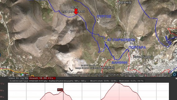
Total path length : 6.980 m.
Maximum altitude : 111 m.
Total altitude difference : 191 m.
Maximum slope : 23%, average slope : 5 %
For viewing you have to use the Google Earth application which can be downloaded here:
 English
 Ελληνικα

Comments
No comment yet.