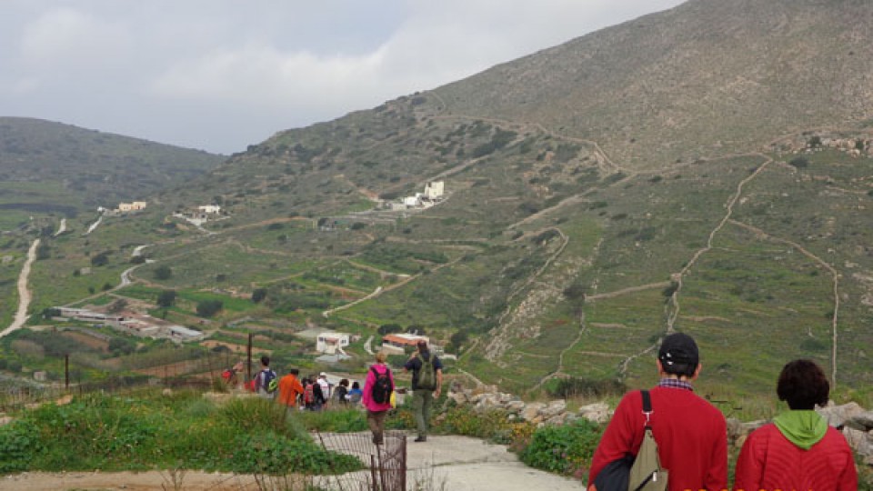
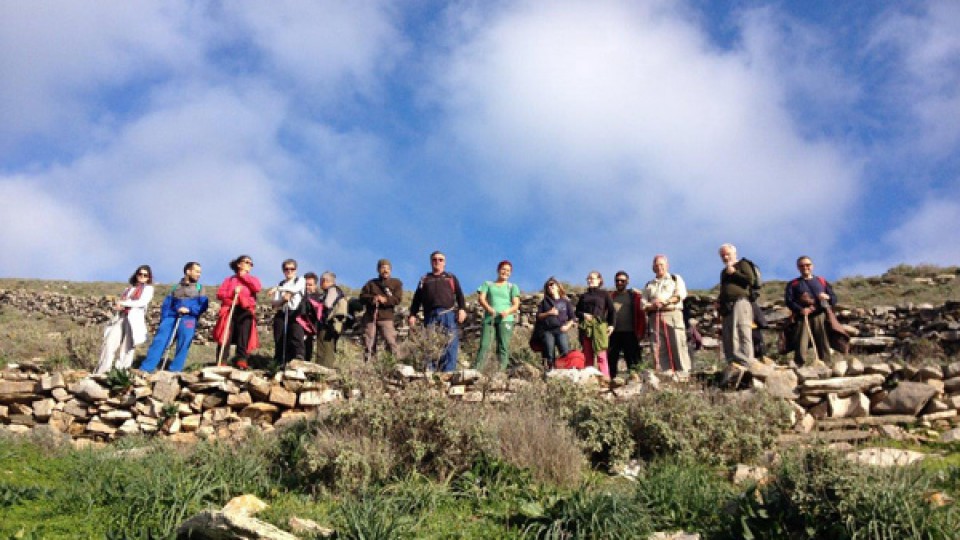
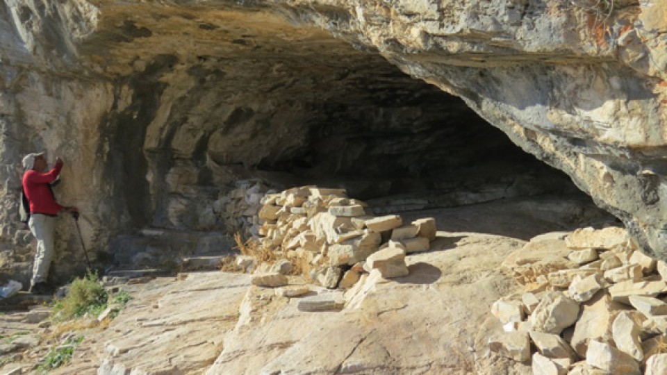
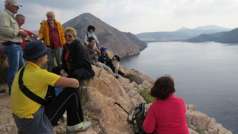
Fokiotrypes
Santorinious well
Katergaki
Στέφανος Σκιαθίτης
05
Jan2014
By Takis Galanopoulos:
Soon we will add more of these files on our web site.
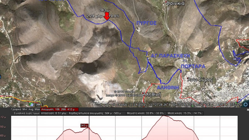
Path length: Start+116 m., we headed up to +346, than at Hartiana at +217, headed to Pyrgos at +412 then got down to +116.
Total 504 altitude metes. Maximum slope 34%, average slope 15%.
The file below, after downloading, ... Read More
5 January 2014Στέφανος Σκιαθίτης
27
Jan2014
Total length (with return) : 6,380 m.
Altitude: Richopo = 336 m., Platy Vouni = 161 m. , Loulas = 71 m.
Total altitude difference : 265 + 56 = 321 m.
Maximum slope : 40%, average slope : 10,1 %
The walk today (26-1-2014) was done under the rain mainly during return. 15 ... Read More
27 January 2014Στέφανος Σκιαθίτης
10
Feb2014
(By Takis Galanopoulos)
The file below, after downloading, requires Google Earth application to view:
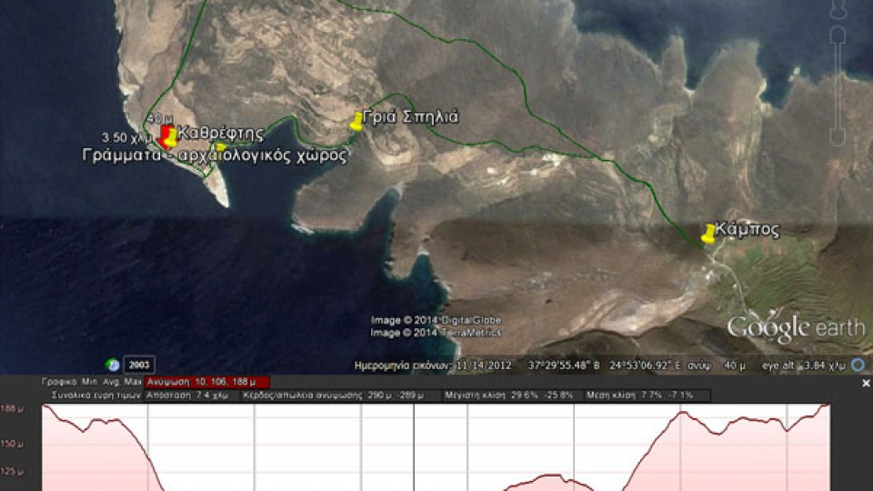
KAMPOS_GRIA_SPHLIA_GRAMMATA_KAUREFTHS
Total path length : 7.400 m.
Altitudes : start at Kampos =188 m., Kathreptis = ~50 m.
Total altitude difference : 290 m.
Maximum slope : 28%, average slope : 7,5 %
For viewing you have to use the Google Earth application ... Read More
10 February 2014Στέφανος Σκιαθίτης
24
Feb2014
Piskopio - St. Barbara
St. Barbara
View from Kini
Kini
On the way to St. Marina
St. Marina
Kini - St. Barbara
St. Barbara - Piskopio
24 February 2014Στέφανος Σκιαθίτης
05
Jan2014
Portara
To Alithini
Alithini
To Pyrgos
To Hartiana
View from Hartiana
Hartiana
Platos
Delfini view from Platos
Hermoupolis view from Alithini
5 January 2014Στέφανος Σκιαθίτης
17
Nov2013
Singing the song 'Chryssoprasino fyllo' at Katakefalos, Galissas
17 November 2013Στέφανος Σκιαθίτης
10
Nov2013
10 November 2013Στέφανος Σκιαθίτης
 English
 Ελληνικα

